


The long-awaited Enniskillen to Sligo Greenway has entered the next phase in its development, with the views of local people here in Fermanagh now ‘actively being reviewed to shape the future route.’
The proposed 75km walking and cycling route will follow the route of the former the Sligo, Leitrim and Northern Counties Railway (SLNCR) railway line and will pass through Letterbreen, Belcoo, Glenfarne, Manorhamilton, Ballintogher, and Collooney..
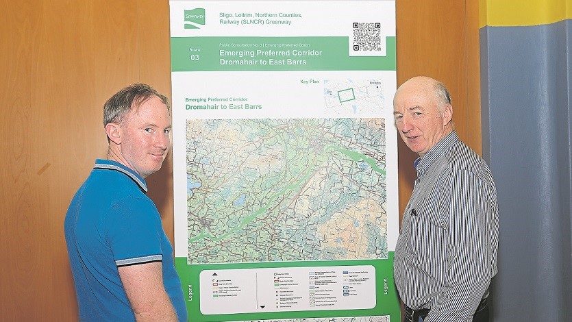
Earlier this year a public consultation was opened on the plans for the major tourism and leisure cross-border, cross-council project that will connect the two major towns.
Hundreds of residents and landowners across Fermanagh, Leitrim and Sligo attended the in-person consultation events, where they had an opportunity to speak with the designers.
This feedback from the public is now being used to shape the ‘Preferred Corridor’ for the project.
Brendan McKenna from Leitrim County Council, senior executive engineer to the project, said there had been a ‘good response’ at the Fermanagh consultation events, where the public ‘shared views on additional constraints and opportunities.’
Some requested to explore bringing the route beyond the historic railway line, closer to the main A4 Sligo Road, and closer to the shore of Lough Macnean Lower, crossing the Belcoo River and taking advantage of natural land boundaries particularly to minimise impact on farmland.
The project team has taken account of these requests and now seeks to consider additional routes for the greenway as part of the next phase.
To do this, the corridor has been broadened to over 200m in some places which captures a small number of additional land parcels with landowners being notified.
This will enable the team to work with individual landowners and other stakeholders to consider what may be possible to accommodate these views.
“We thank everyone for their input which is directly helping the design team understand how people live and work the land, how they would use the greenway to link with neighbours, wildlife and safely walk and cycle in their local area,” said Mr McKenna.
In addition to broadening the route in some places, Mr McKenna said, “Other factors we need to consider are ecology and environmental elements, gradient, water courses and flood risk, impact on farmland, traffic and road crossings.
“We continue to work with all stakeholders to produce a route option as we work towards planning submissions.”
The project is now moving into Phase 3, which is the design and environmental evaluation stage.
All landowners who fall within the Preferred Corridor will receive a letter in coming weeks and are encouraged to contact their project liaison officer with any queries.